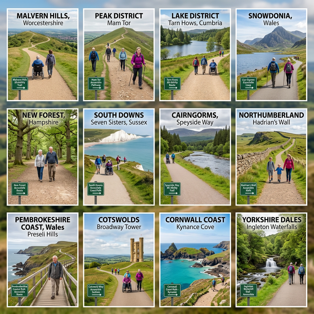
This page brings together a growing and evolving collection of accessible walking routes across the UK, informed by real-world exploration, observation, and accessibility-focused documentation.
It is not a complete directory (yet). Instead, it represents a structured snapshot of all published routes on Access Trails UK so far, forming the foundation of a larger, disabled-led archive of accessible outdoor spaces.
Each route is documented with a focus on practical accessibility rather than assumptions, including step-free access where possible, terrain notes, and real visitor considerations.
What This Archive Covers
Every trail included here has been individually explored and written up with accessibility in mind.
Typical information includes:
- Step-free access where possible
- Surface and terrain conditions
- Gradients and physical barriers
- Parking and arrival points
- Practical expectations before visiting
This ensures the archive reflects real-world usability, not just scenic descriptions.
Greater Manchester
Accessible green spaces and urban nature routes across the city region:
- Fallowfield Loop
- Philips Park
- Clayton Vale
- Highfield Country Park
- Cringle Park Walking Circuit
- Chorlton Ees Nature Reserve
- Mersey Vale Nature Park (Stockport)
- Heaton Mersey Common
- Boggart Hole Clough
North West England (outside Greater Manchester)
- Carr Mill Dam (St Helens, Merseyside)
Yorkshire & Humber
Accessible heritage landscapes and countryside routes:
- Easby Abbey (North Yorkshire)
- Bolton Abbey Estate (North Yorkshire)
- Sprotbrough Flash Nature Reserve (South Yorkshire)
- Ardsley Reservoir (South Yorkshire)
Cumbria (Lake District)
Accessible trails and scenic walking routes in the Lake District:
Midlands & East of England
East Midlands
- Sherwood Forest (Nottinghamshire)
East of England
- Dunstable Downs & Five Knolls (Bedfordshire)
South East England
- Cliveden (Buckinghamshire)
- Bolderwood Deer Sanctuary (New Forest, Hampshire)
South West England
Coastal paths, woodland trails, and rural estates:
- Camel Trail (Cornwall)
- Tarka Trail (Devon)
- Cardinham Woods (Cornwall)
- Lanhydrock Estate (Cornwall)
- Siblyback Lake (Cornwall)
Scotland
Accessible coastal and heritage walking routes:
Wales
- Millennium Coastal Park (South Wales)
Northern Ireland
What This Round-Up Represents
This archive is a living dataset rather than a fixed list.
It shows how accessible outdoor spaces are already present across the UK, but often poorly signposted or inconsistently documented elsewhere.
By centralising these routes, the aim is to make accessibility information clearer, more reliable, and easier to use in real-world planning.
What Comes Next
This archive will continue to expand into a fully structured, searchable system of accessible walking routes.
Future development will include:
- Consistent regional tagging across all entries
- Standardised accessibility criteria for every trail
- A modular, scalable archive structure
- Ongoing additions of new routes across the UK
A Growing Map of Accessible Walking
From city greenways in Manchester to coastal trails in Scotland and heritage estates in England, each route adds another piece to a wider picture:
Accessible outdoor space exists; it just needs to be clearly mapped and shared.
This archive is part of that ongoing process.
View All Accessible Trails
This round-up only includes the routes published so far, and the archive is always growing.
To explore the full and most up-to-date list of all accessible walking trails, including new routes as they’re added, visit the main paths page:
This is where every new trail, update, and future route will appear as the collection expands.