

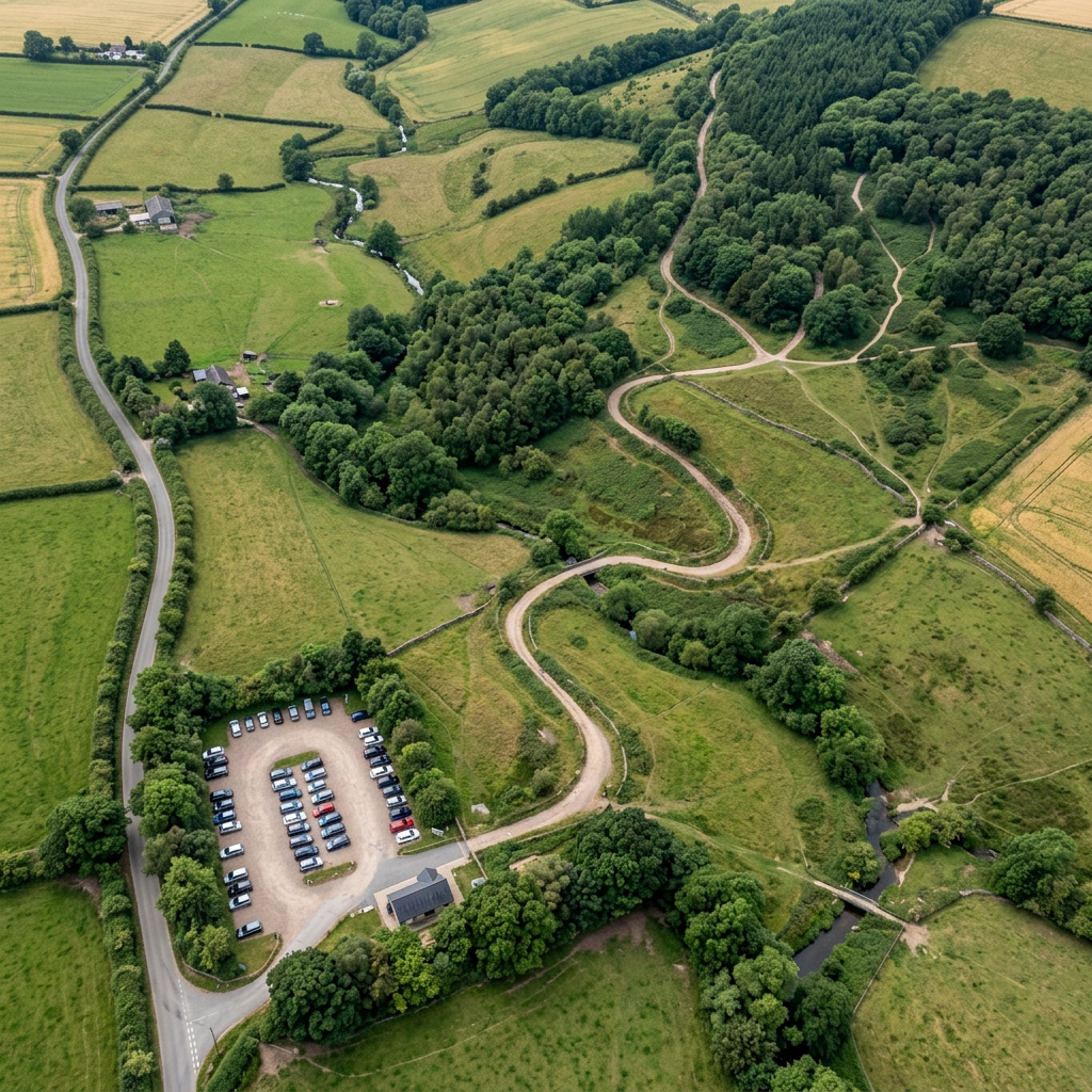
Google Maps is one of the most useful tools for checking walking accessibility before visiting a route. While it cannot confirm full accessibility on its own, it can help you identify key features such as terrain, access points, parking, and potential barriers.
This guide explains how to use Google Maps to assess walking routes in the UK more effectively.
Why Google Maps Is Useful for Accessibility Checks
Google Maps helps you visually preview routes, which reduces uncertainty before travelling.
It can help you:
- Identify path layout and continuity
- Check parking proximity to walking routes
- Spot potential barriers such as steps or narrow paths
- Understand the surrounding terrain
- Compare multiple access points
Step 1: Use Satellite View to Assess Terrain
Satellite view gives an overview of the route structure.
Look for:
- Continuous pathways without breaks
- Clearly defined walking tracks
- Open green spaces or maintained paths
- Changes in terrain type (grass, gravel, paved areas)
This helps identify whether a route is likely to be accessible.
Step 2: Use Street View for Ground-Level Detail
Street View provides closer visual confirmation.
Check for:
- Steps at entrances or along paths
- Narrow gates or pinch points
- Path surface type (tarmac, gravel, uneven ground)
- Kerb heights or access transitions
This is especially useful in parks, towns, and coastal promenades.
Step 3: Check Parking Locations and Access Routes
Parking accessibility is often shown clearly on maps.
Look for:
- Car parks close to trail entry points
- Blue Badge parking areas
- Step-free routes from parking to paths
- Distance between parking and walking start points
Step 4: Compare Multiple Entry Points
Some walking routes have several access points.
Use Maps to:
- Compare different car parks or entrances
- Choose the shortest, flattest access route
- Avoid routes with long transfers or slopes
Step 5: Look for User Photos and Reviews
User contributions often provide real-world updates.
Check for:
- Recent photos of path conditions
- Comments about accessibility or barriers
- Seasonal changes affecting the terrain
Final Thoughts
Google Maps is a powerful pre-planning tool for accessible walking, especially when used alongside official information. It helps reduce uncertainty by visually confirming access points, surfaces, and route layout before you travel.