
How disabled walkers can document, review, and share trail info to build a legacy of access
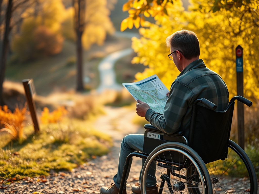
Every trail tells a story. But for disabled walkers, the official maps often leave out the most important chapters: the slope that felt like Everest, the bench with perfect turning space, the toilet that was locked (again). That’s why we map. Not just for ourselves but for the next person who rolls this way.
This post is a celebration of disabled trail documentation. A guide to leaving traces that help others roll with dignity, delight, and fewer surprises.
Why Mapping Matters
- Access info is often missing, vague, or misleading
- Disabled walkers need real-world detail: surface type, gradient, rest stops, toilet access
- Reviews build community: they say, “you’re not alone” and “we’ve been here too”
- Legacy is powerful: every note, photo, and rating helps someone else roll with confidence
Mapping is care. It’s solidarity. It’s a quiet act of resistance against inaccessible silence.
What to Document
- Surface type: Tarmac, gravel, mud, “compacted earth” (aka seasonal soup)
- Gradient: Gentle, steep, or “requires a sherpa”
- Benches and rest stops: Location, turning space, shade, snack potential
- Toilets: Radar key access, transfer space, Changing Places availability
- Gates and barriers: Width, latch type, wheelchair passability
- Weather impact: Does it flood, puddle, or turn into a slip’n’slide?
- Joy moments: Views, wildlife, quiet corners, squirrel encounters
Where to Share It
- AccessAble: Detailed reviews with measurements and photos
- Wheelmap: Global map of accessible places, including trails and toilets
- Local Facebook groups or forums: Especially for nature reserves, parks, and coastal paths
- Your own blog or archive: Build a legacy of lived experience
- Trail apps with review features: Komoot, AllTrails, or OS Maps add access notes where possible
- Or here with us at Access Trails
Every review is a breadcrumb. Every photo is a signpost. Every shared detail is a gift.
How to Make It Easy
- Use your phone to snap benches, gates, and toilets
- Keep a notebook or motif tracker for quick notes
- Create a checklist template: surface, slope, benches, toilets, joy
- Share honestly: what worked, what didn’t, what surprised you
- Invite others to add their own traces and build a communal map
Final Thought
Mapping for the future isn’t just about navigation; it’s about legacy. It’s about saying: “I was here. I rolled this path. And here’s what I learned.” It’s about turning trails into places of belonging, one review at a time.
So, document with joy. Share with care. And know that every trace you leave helps someone else roll further, rest better, and feel more welcome.
Feel free to share your story, your tips.